
| Price | Free |
|---|---|
| Category | Travel & Local |
| Version | 2.12.2 |
| Developer | Asamm Software, s. r. o. |
| Added | Aug 11th, 2010 |
| App Views | |
| Votes | 0 votes |
| Google Rating | |
| Ratings | 13630 |
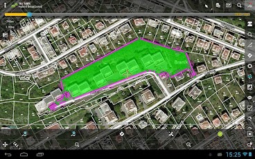
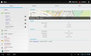
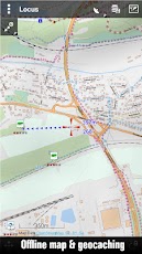
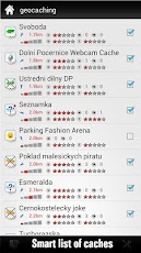
GPS outdoor navigation app for hiking, geocaching, sport activities and your everyday life. Download many types of cycling and hiking maps for off-line usage. Powerful system for geocaching, intelligent GPS for long battery life and many more? Online maps- Openstreetmap – OSM, Freemap, SHOCart, SmartMaps, MapQuest, Navigasi, Turaterkep, NzTopoMaps, Osmapa.pl, ChartBundle and more- most of them are downloadable for offline usage without cell coverage- full WMS maps support? Offline maps- Vector maps (for a low fee) for city, car, hiking, cycle, ski – downloadable by in-app billing- support for formats SQLite, TAR maps, MBT maps, GEMF, RMAP, Orux, SmartMaps- create own maps from OpenStreetMap data or custom themes? Search- by address, coordinates, own points, localized photos- for places around by Google Places, Wikipedia? Point of interest (POI) & Tracks- handle unlimited number of points/tracks, categorize, sort, edit, import, export and much more? Geocaching- use Geocaching Live! service and add-ons to get full offline experience when you searching for caches- support for waypoints, PocketQuery, trackables, spoilers? Track record- unlimited possibilities for configuration- custom styles for map, like color by altitude, by speed- support for ANT+ sensor? Voice navigation & guiding- full support for Online voice navigation- voice & notification guiding on single waypoint (by compass or on the map) and along path? Import/Export- integration of GPSies, Breadcrumbs, Trainingstagebuch, Street View, Google Earth and others- work with KML, KMZ, GPX, OpenAir, DXF formats? GPS- special methods to handle GPS. Satellite screen with current situation, notification on GPS state, Bluetooth GPS, advanced system for disabling GPS when is needed to conserve batteryand much more like ? Weather service – detailed forecast for 7 days / 3 hours on every place on Earth? Highly customizable? Integration of Google My Maps (reading and editing)? Parking? POI alert? Dashboard – fully customizable? Ability to use apps like c:geo, Sygic, GPS status and others directly from Locus? API for developers? Existing 3rd party add-ons- for geocaching: Geocaching4Locus, GeoGet database, GSAK database- others: Augmented reality, Foursquare, etc. * Try Free version first! Homepage:- http://www.locusmap.euTechnical support:- http://getsatisfaction.com/locusKnowledge base:- http://docs.locusmap.euE-mail:- [email protected]
App Screenshots
Other Travel & Local Apps


