| Price | $6.49 |
|---|---|
| Category | Tools |
| Version | 3.3.1 |
| Developer | Radiatio |
| Added | Apr 9th, 2012 |
| App Views | |
| Votes | 0 votes |
| Google Rating | |
| Ratings | 21 |
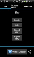
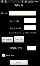
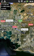
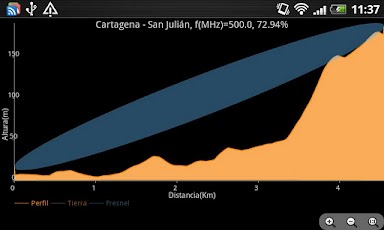
The main features are:- Sites database. You can create a single or multiple sites over terrain. Also, you can import KML files generated in Google Earth or export KML files to be used in Google Earth.- Representation of terrain profiles and First Fresnel Zone between two geographical points. You can see immediately if the First Fresnel Zone is obstructed or not by the terrain and the percentage of the First Fresnel Zone clear of any obstructions is automatically calculated. Also, the Free Space Path Loss is calculated. – Orientation of the antennas in azimuth (relative to the North) and elevation (relative to the horizon) between two geographical points. Useful for quickly orientating the antennas situated at the sites.- Link budget. The Link budget calculations can be done to determine the maximum allowed path loss, taking into account the equipment configuration elements and parameters (transmitting power, cable loss, antenna gains, sensitivity, etc.)- Dropbox. You can store results (sites database, profiles etc) and share them (if you want) instantly with your RF Terrain Profiles user group.
App Screenshots
Other Tools Apps